Reflecting back on my early experiences with tropical weather information makes me happy and sad at the same time. Happy, just to see how fast weather information is now disseminated to the public. It would've been mind boggling to me 30 years back if someone would've told me that I would be able to not just listen to tropical weather updates on a NOAA weather radio but actually see the tropical cyclone on a smartphone. Growing up in the Keys in the 80's and reminiscing how I would use to wakeup early in the morning just to listen to the latest tropical weather outlook on NOAA weather radio over my Dad's Cb marine radio in his boat on tropical disturbances or even get the latest coordinates on a tropical depression, storm or hurricane that was hundreds of miles away just to plot it on my hurricane tracking map. Tropical weather outlooks back then were issued at 5am, 11am, 5pm and 11pm. I even remember when I was away from home, working with my Dad somewhere and not having immediate access to an FM radio that also broadcasted the tropical weather outlook every 6 hours or so I would always go to a public phone,

yeah a public telephone we use to have those in America too and pay the 25 cents and dial into the National Weather Service to get the latest tropical weather outlook on their 24 hour recordings which also gave you the weather forecasts, marine forecasts, sunrise, sunset times and even high and low tide times for various parts of the Keys. After about two to three years of doing that same routine by listening to the NOAA weather radio transmissions over 162.400 Mhz, FM radio, and listening to the National Weather Service recordings over the telephone to obtain the latest news on the Tropics, I finally purchased my first personal pocket weather radio with an alert mode in 1988. It sure made it easier to get the latest tropical weather outlook, now in my hand. Of course I would watch Don Noe on channel 10 to get the latest tropical weather update visually but that was only until 5pm. I already had back then the compulsive need to get the latest tropical weather information immediately, to let my family know if something was brewing in the Tropics. Now the sad part of reminiscing about how tropical weather shaped my early life is that now I'm a grown man and tropical weather is still my passion but my tropical weather passion for the past I now cannot control or bring back to life.
 Images courtesy of NOAA and Hurricane Hunters Association


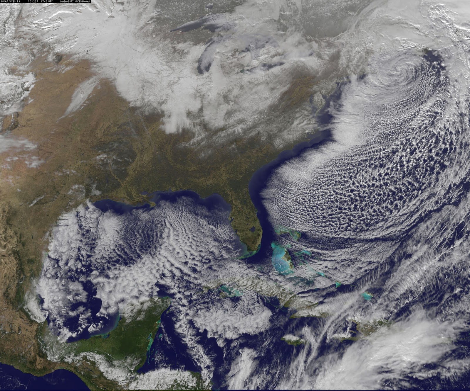
 Images Courtesy NASA
 Images Courtesy NASA

 Image Courtesy NWS Key West
  Image Courtesy NASA
 Image Courtesy NPS Dry Tortugas